The 1945 Canso Plane Crash Hike In Tofino!
If you’re in the Tofino area; this hike is a must do. It’s not TOO hard ( although it can get a bit muddy) and it’s really neat to see a plane that crashed over 70 years ago mostly intact despite the damage it sustained from the crash.
THINGS TO KNOW
Be prepared for mud. There is heavy tree roots along the way and a mud bog. There ARE planks of wood to walk on but there are still some places that are pretty wet.
Rubber boots or waterproof hiking boots are a must. Running shoes would get ruined on this trail
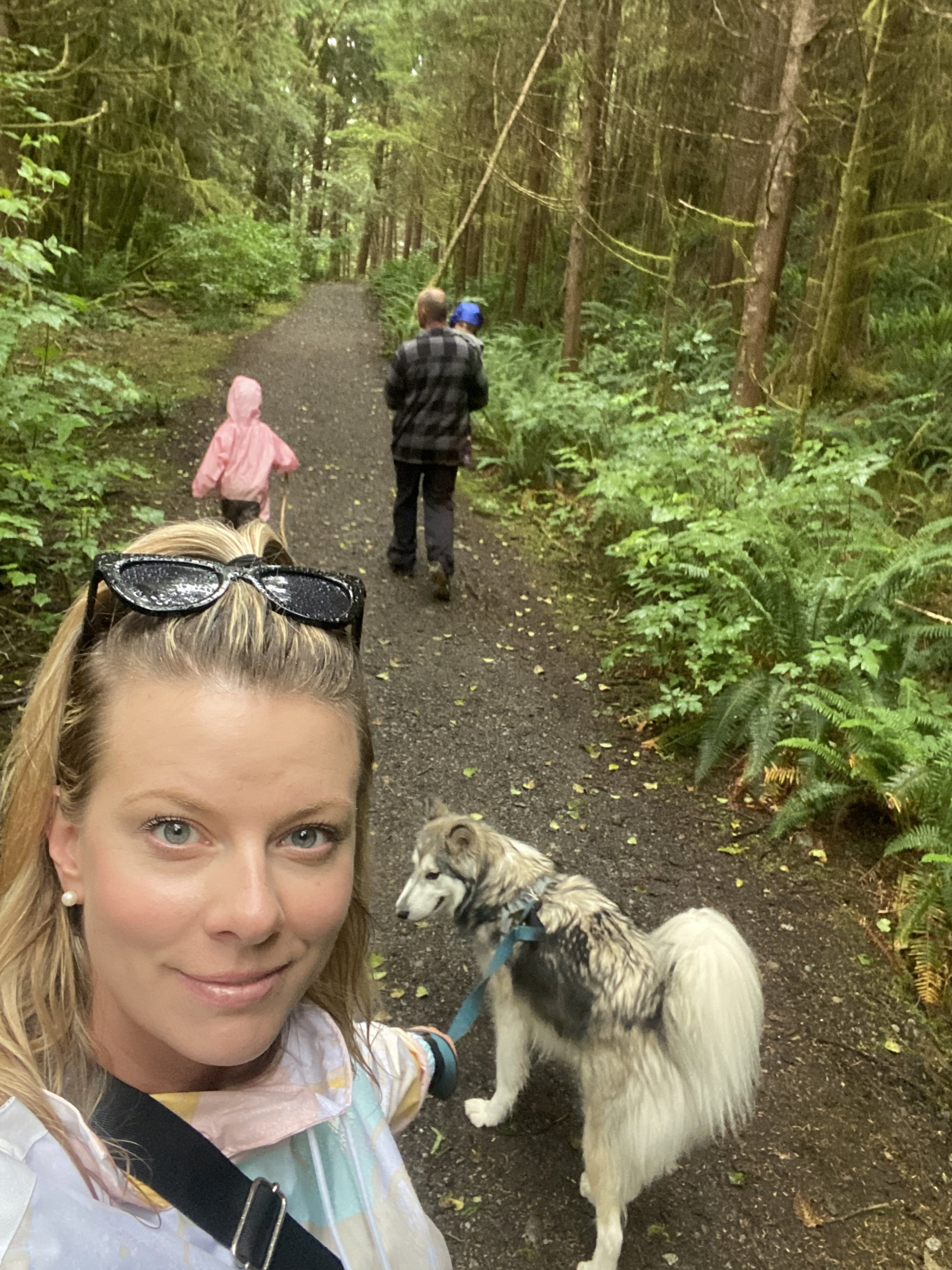
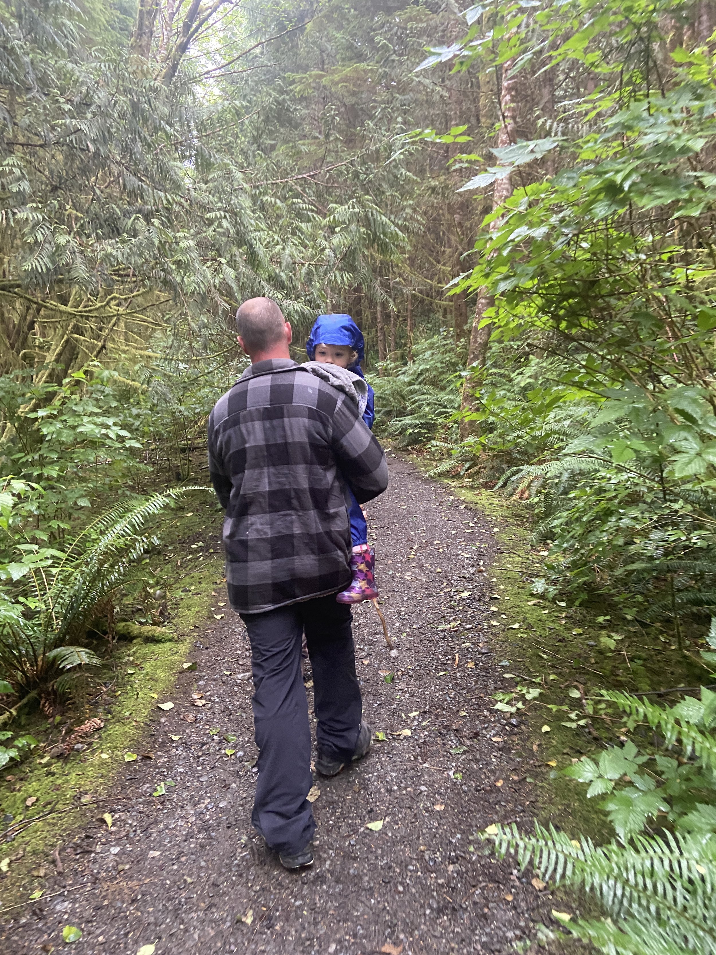
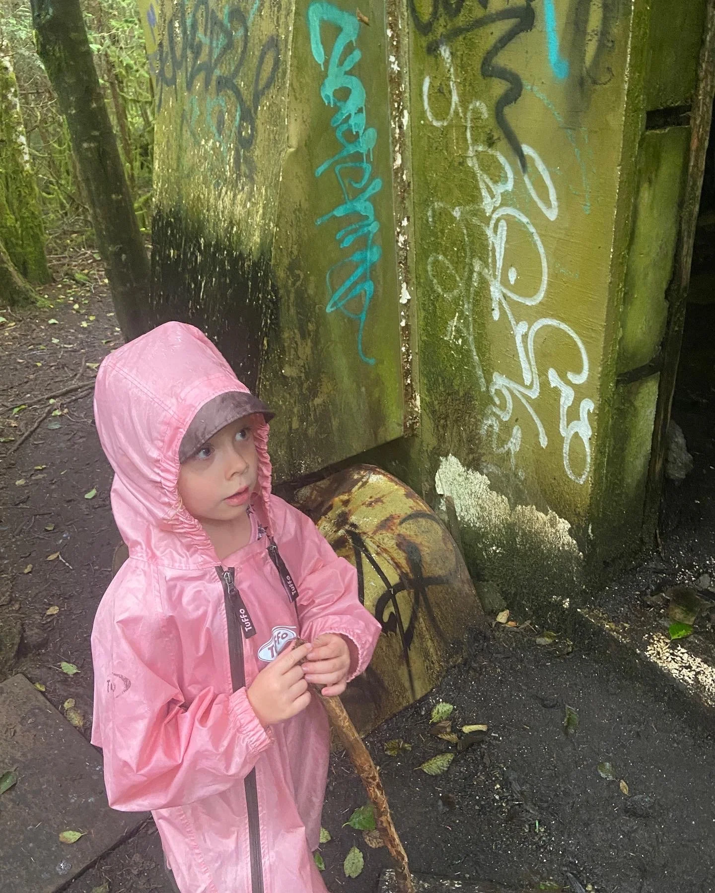
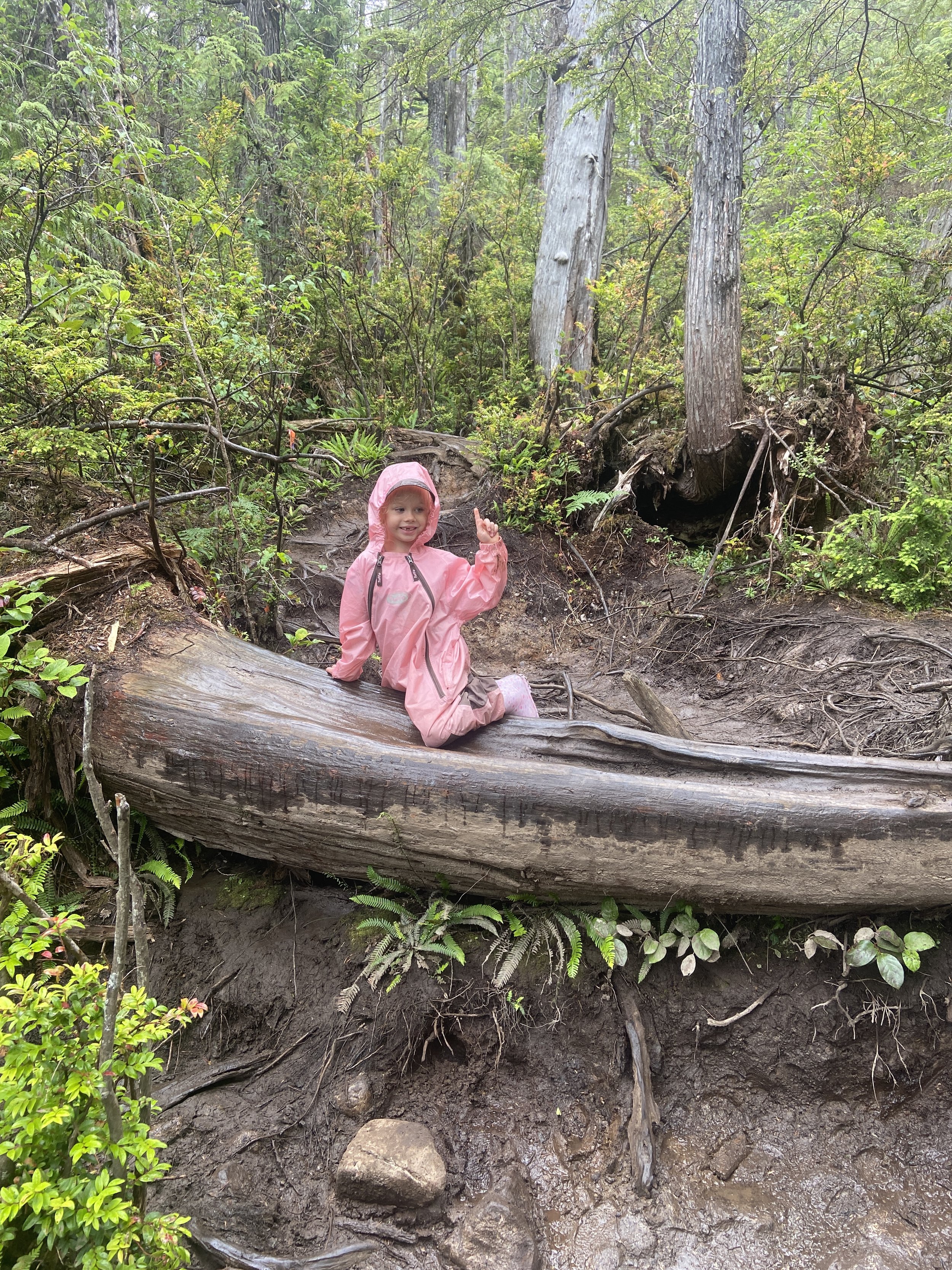
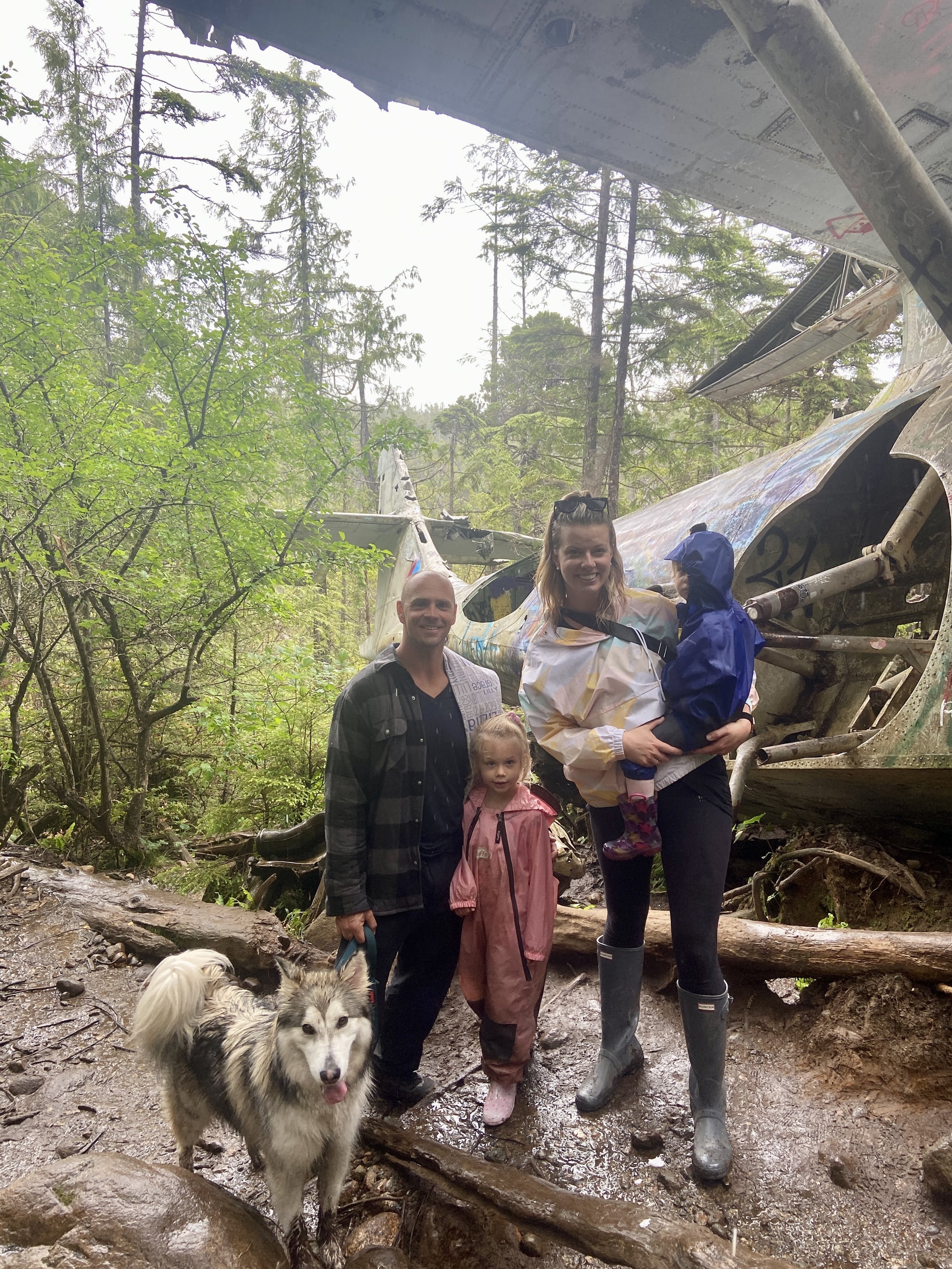
This trail is probably for kids ages 5 and up. We had our 5 year old and 2 year old. Yeah…a little over zealous. My husband carried Lilly, our 2yr old, the entire way. The man is a saint. Kennedy (5) was able to keep up.
If it’s been rainy for a few days - don’t go haha it will just be too muddy. We went on a misty day but it had been nice for the few days before so the trail was ok.
HOW TO FIND IT
Before the new ʔapsčiik t̓ašii (pronounced ups-cheek ta-shee) trail was built ; it was a bit sketchy to get to the trail. You would park at the Radar Hill (lower) parking lot and then count 15 telephone poles along the busy highway and there would be your turn. But it’s MUCH easier now.
Turn off of the Pacific Rim hwy at Radar Hill. Park in the lower parking lot ( remember your park pass!).
Then (walking) turn right on to the ʔapsčiik t̓ašii trail. This is the new trail along the highway for multi use. It’s awesome.
Follow along for about one km or so. You will see a clear intersection where you can keep going on the trail or turn right into the forest. Take the forest trail…this is the start of the path.
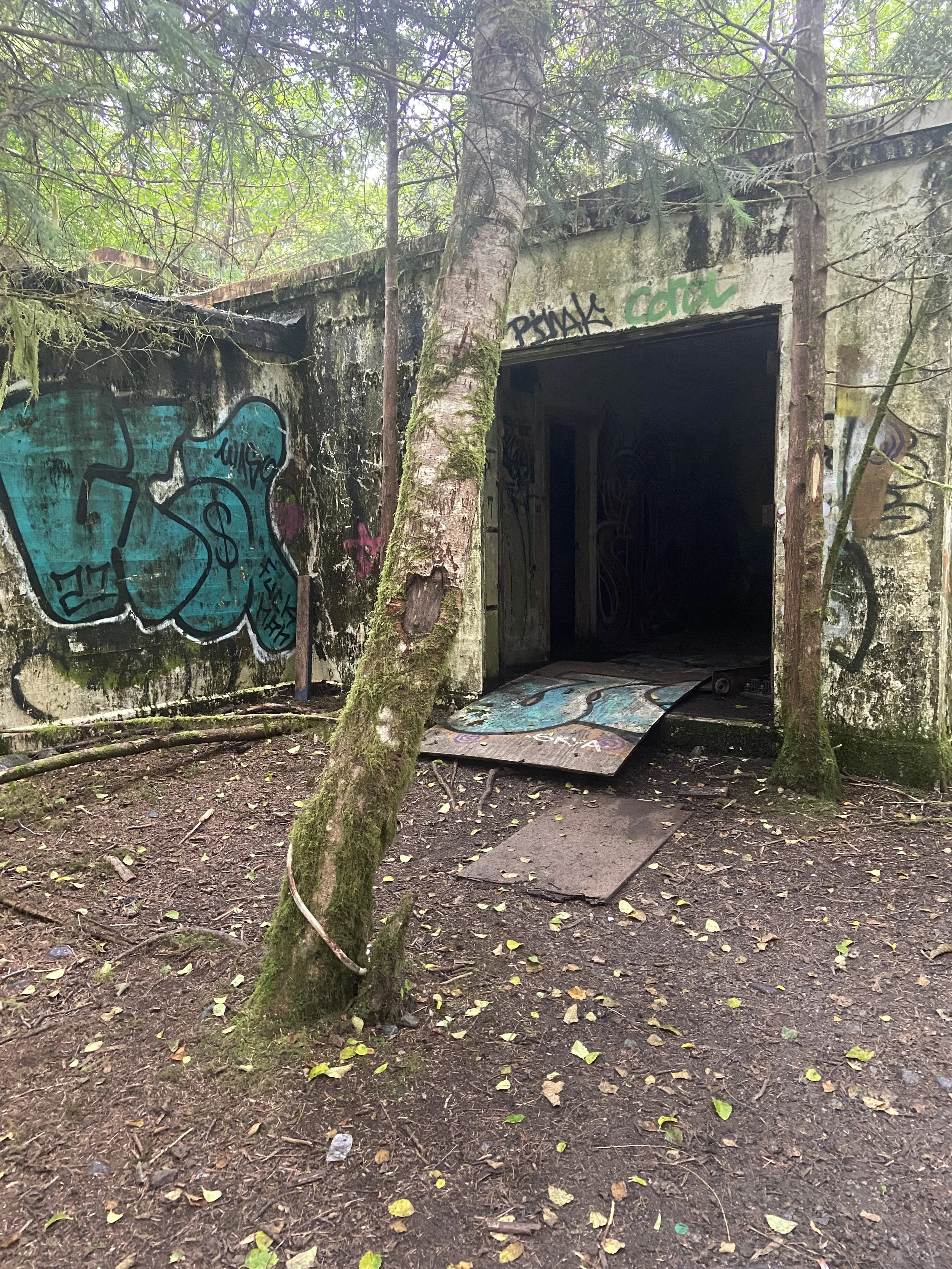
You will know you are on the right trail if it feels like you’re in a rainforest just a few steps in. You will start going a bit uphill and at the top of the hill you will see an old abandoned building.
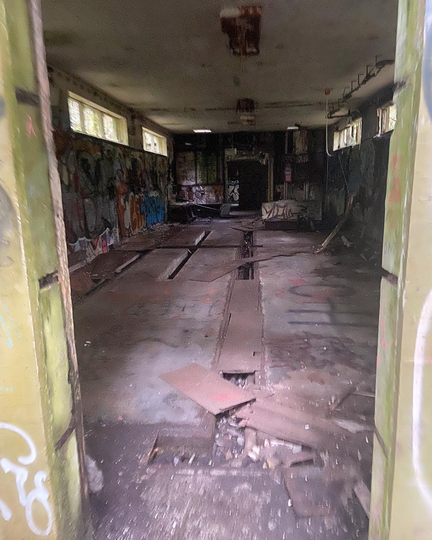
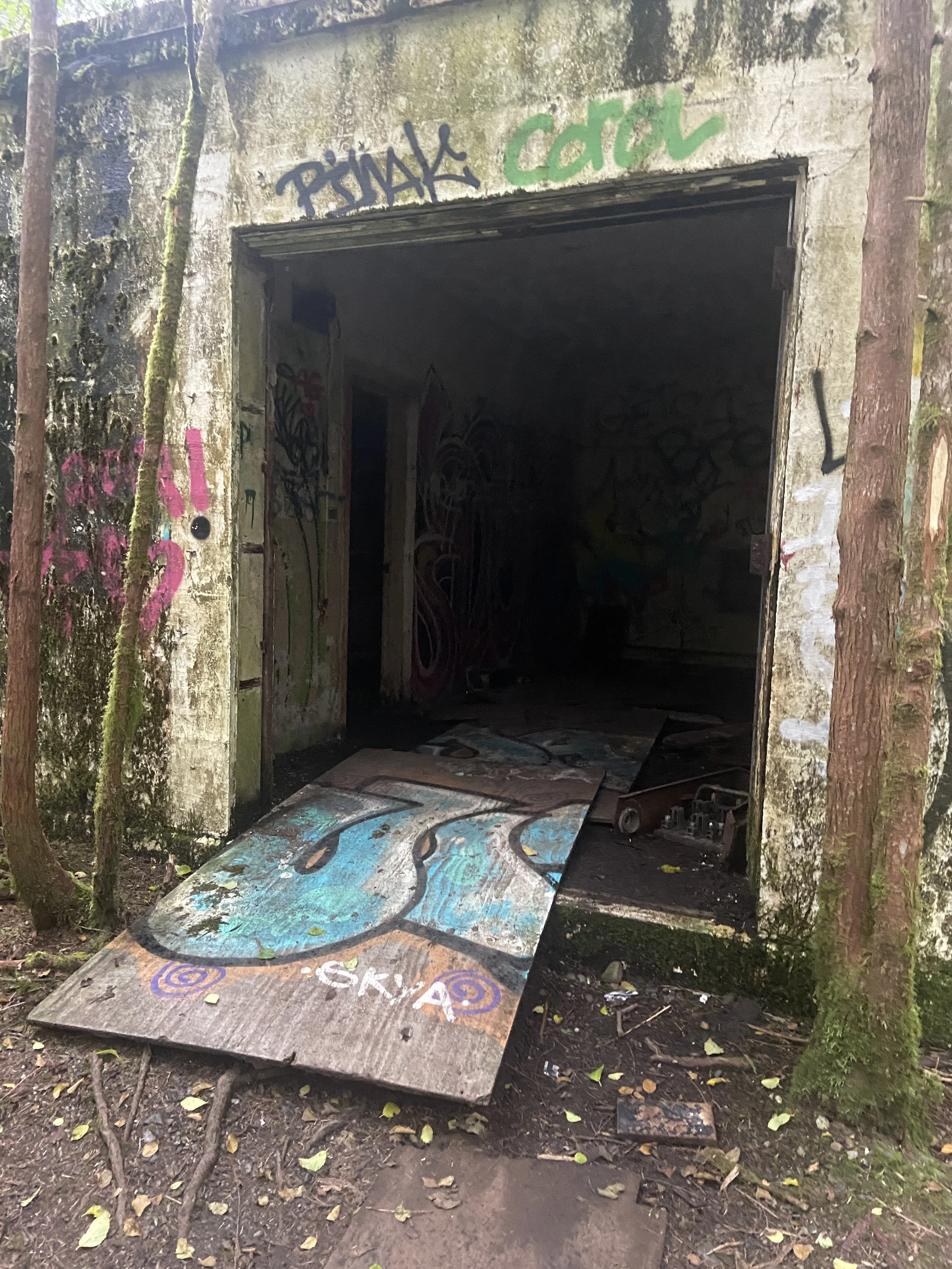
THE ABANDONED BUILDING
To me, someone who is scared of everything, this building is CREEPY. After some research it appears that it used to be an old transmission building from the war? But no confirmation on that. Tons of graffiti and knocked out windows. You DO NOT have to go through it; you can go around it thank goodness.
THE ROOTS
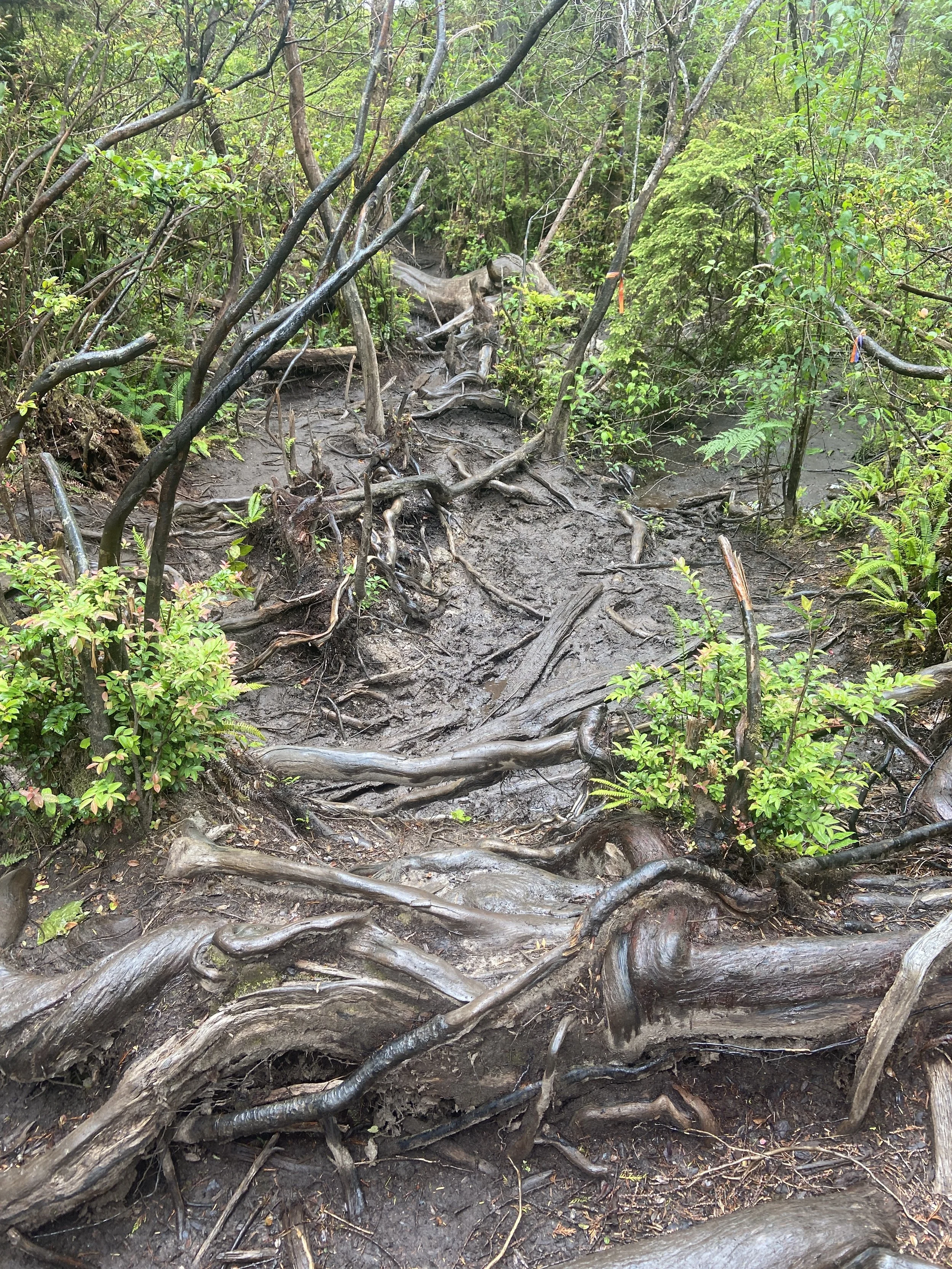
This is where you hit the tricky part of the trail. Downhill with lots of tree roots and some technical footing required. My 5 year old loved it though haha go figure. Prepare to get muddy here.
THE MUD BOG, PLANKS AND THE CRATER
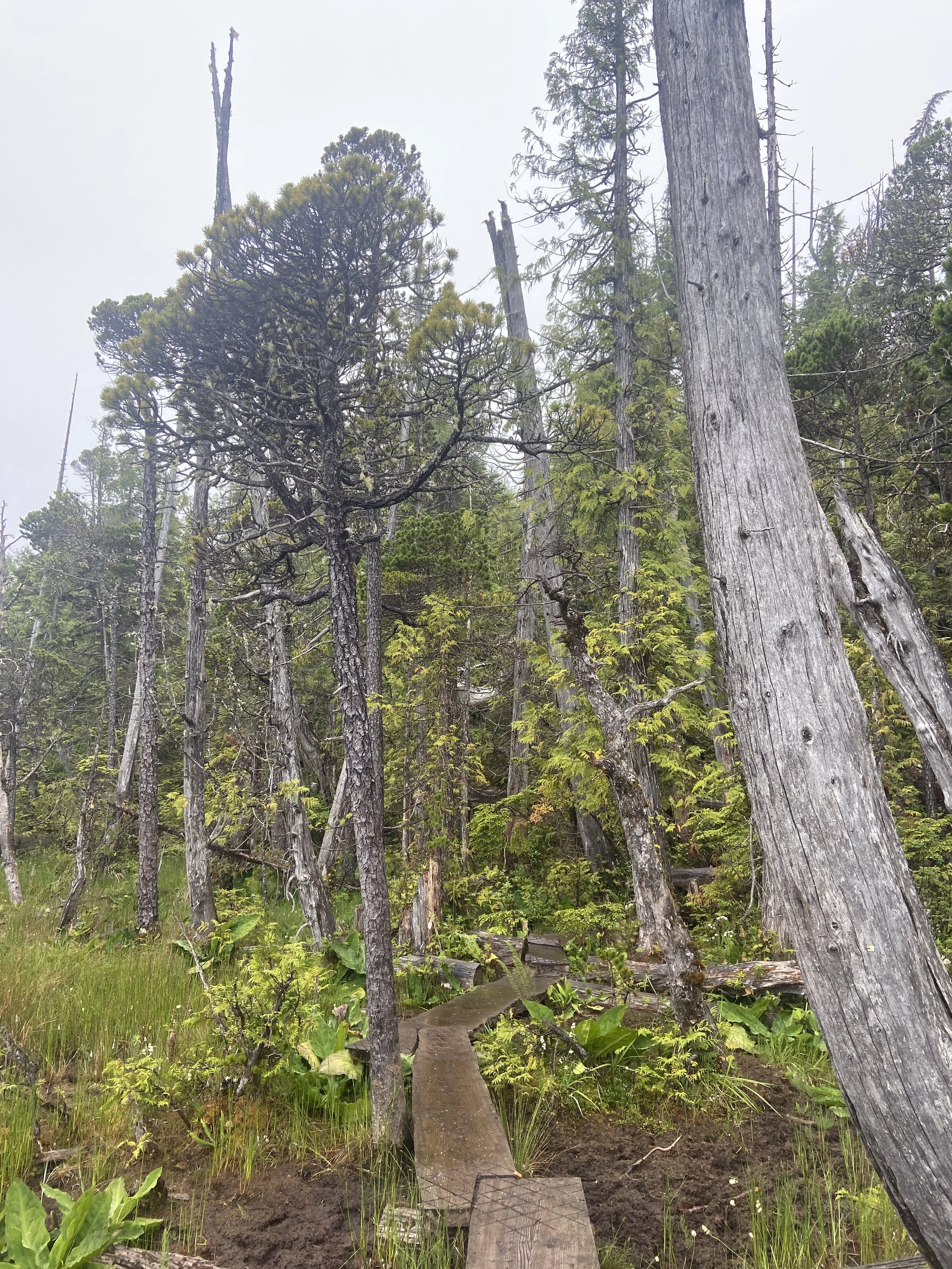
Then it’s the mud bog section with planks on planks on planks. There are little ribbons along the entire trail to keep you going in the right direction. While it’s not an official trail - you won’t get lost. It’s really easy to follow.
If it’s been rainy; this would be the worst part as sometimes I’ve heard the mud can be knee high. For us, we were able to stay on the planks and it was fine.
This is a kinda boring part of the trail (for me anyways just because of the repetitive planks haha) but the history behind it is neat.
The “pond” is actually a crater that was formed by the controlled detonation of the bombs from the plane following the crash. When it took off- it had over 850lbs of bombs on board. The explosives didn’t detonate and were removed from the crash site later.
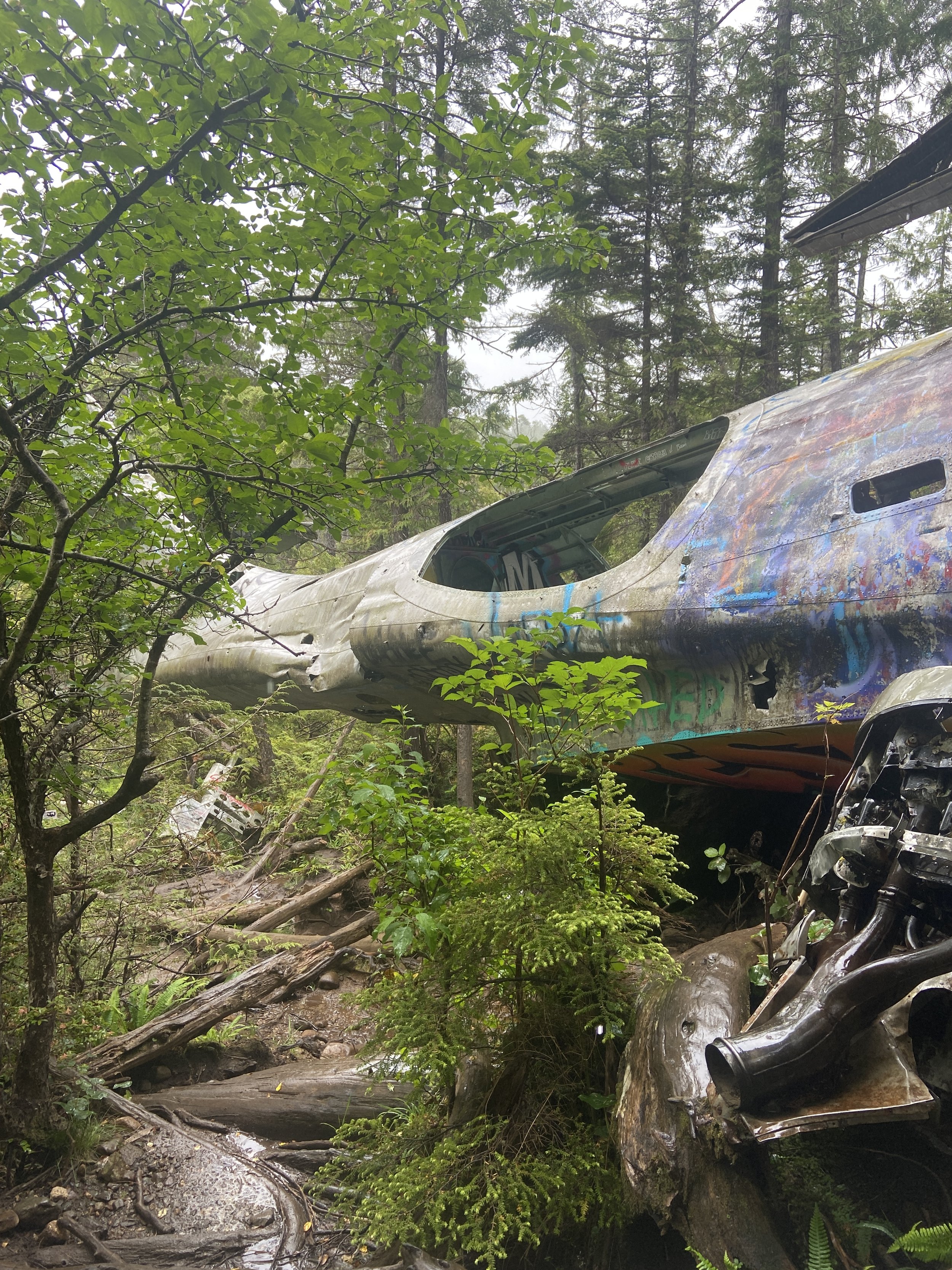
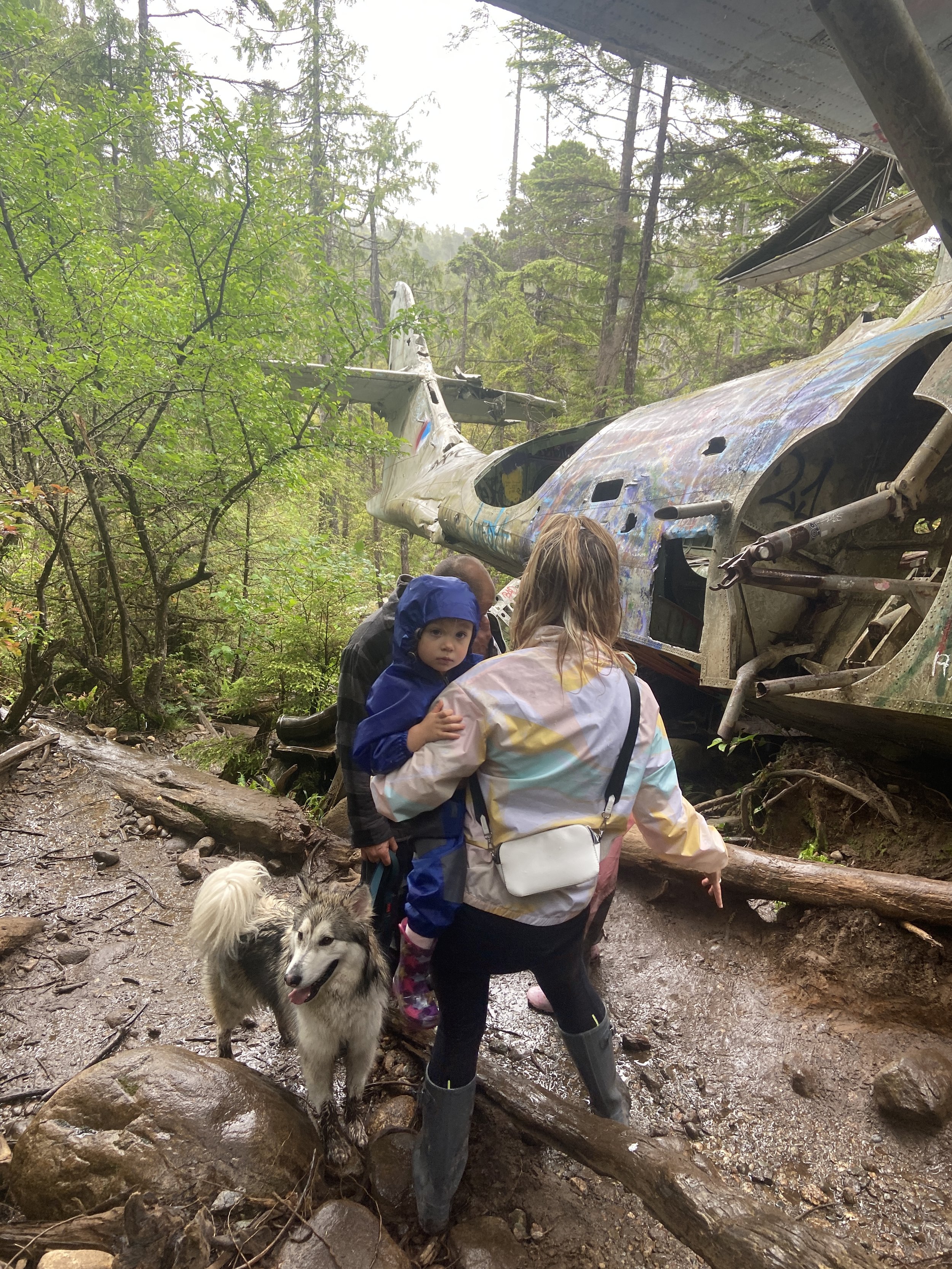
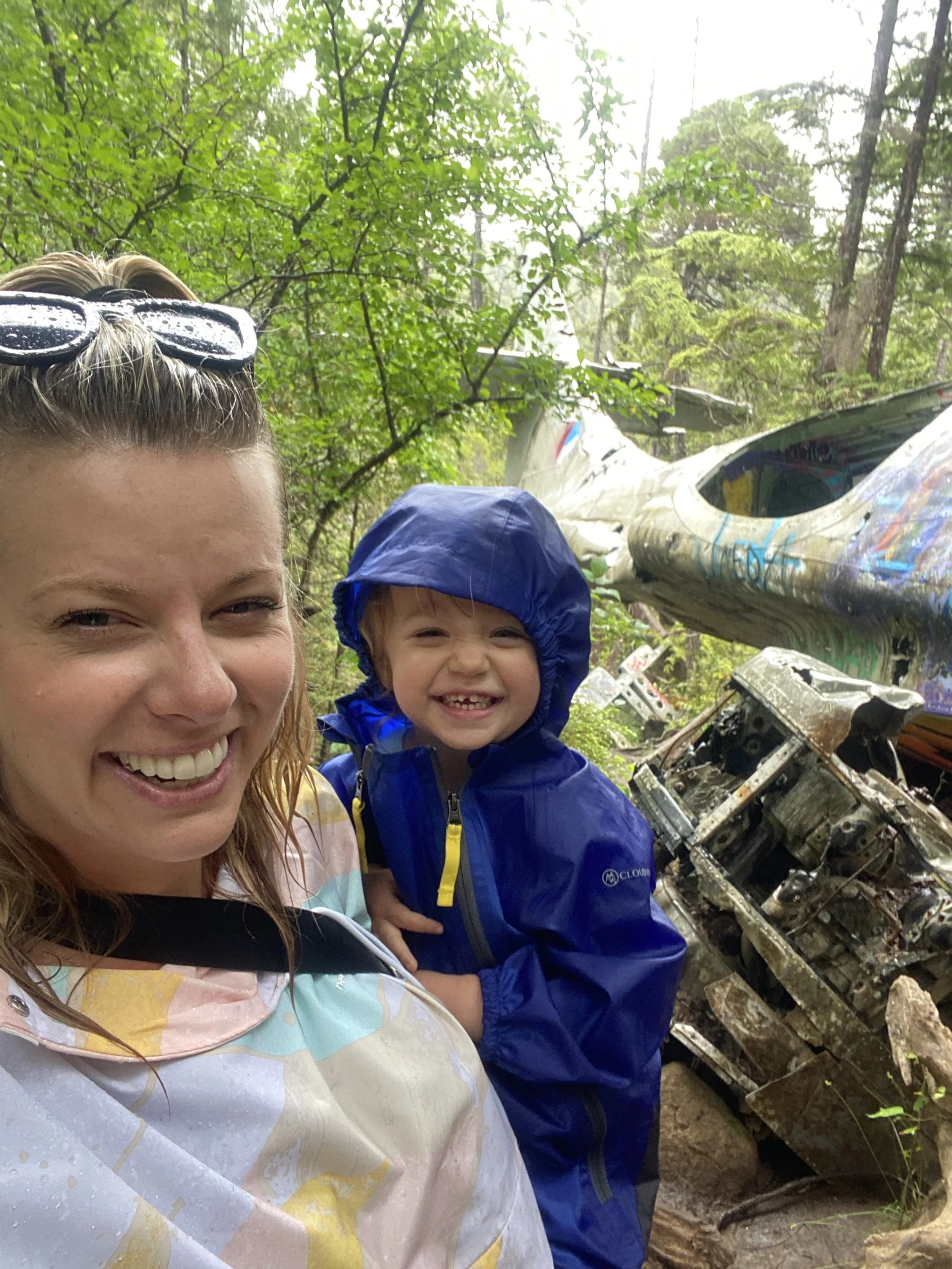
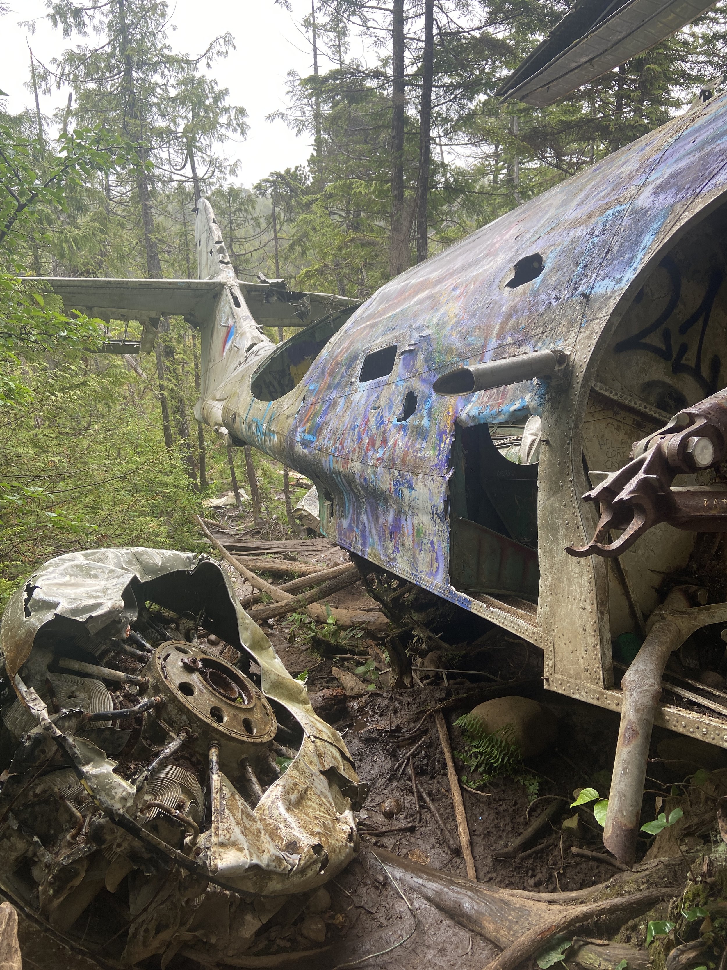
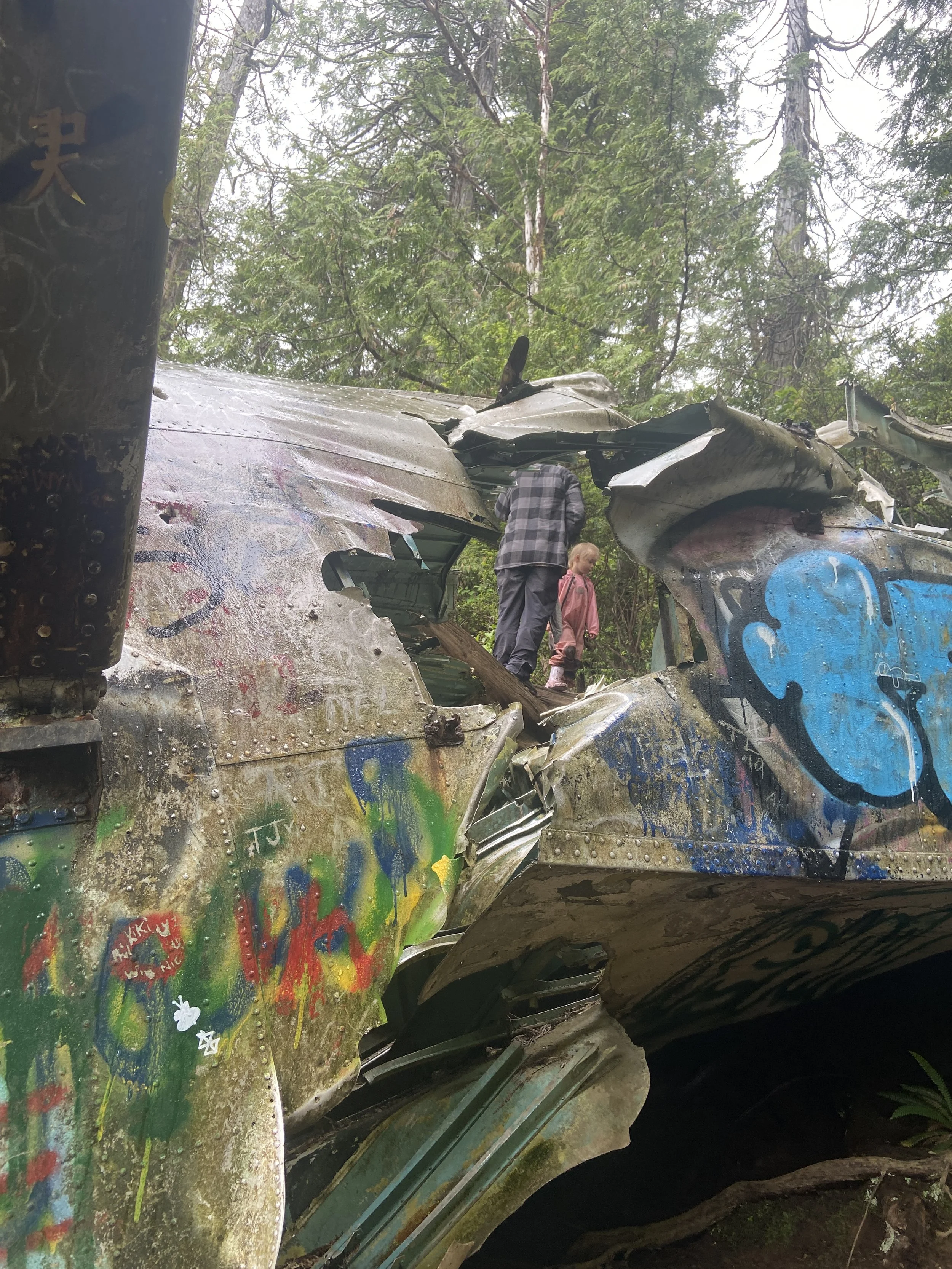
You know you’re close when parts of plane start to appear scattered beside the trail. Then all of a sudden you look up and you see the tail end of the plane sticking out of the forest just beyond.
THE PLANE
A short climb uphill over some more tree roots gets you right up close to the plane.
Unfortunately there is lots of graffiti all over it ; but it is what it is.
Be careful as there are a lot of sharp metal edges everywhere.
TONS of neat photos and videos to be taken though. It’s quite spectacular to see it up close.
A LITTLE HISTORY ABOUT THE CRASH
(From GoTofino.com)
“One night on 10 February 1945, a Canso bomber plane was flying out to do duty with a crew of 12 onboard. The Canso was loaded with 3,400 litres of fuel and 4 100-kilogram depth charges. Heading out in the dark at 11pm to return to Coal Harbour up north on Vancouver Island, the plane malfunctioned and the port engine lost power. The Canso was falling 300 metres a minute when it hit the trees and crashed. The quick thinking of pilot Ron Scholes who stalled the plane to slow it’s descent was the reason that all 12 crew members survived the crash.”
There is also a great story from Global News where they talk to one of the survivors, Retired Royal Canadian Air Force Pilot Officer Clarence Sartorius. Read it HERE.
Pretty cool hey? I would def recommend this for a relatively easy hike with a great payoff at the end. Our 5 year old is still talking about it and can’t wait to go back! The 2 year old….she may wait a bit LOL.
xoxo Jack